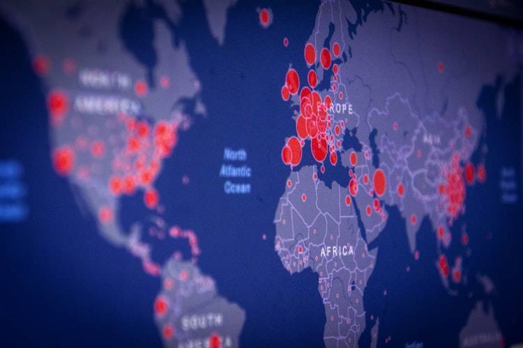
Researchers have categorized China as one of the major global hotspots for the potential outbreak of the coronavirus, attributing the risk to simultaneous high levels of forest fragmentation, livestock density, and human settlement. A team of researchers from the Polytechnic University of Milan in Italy, the University of California, and Massey University in New Zealand has created maps identifying potential hotspots for coronavirus outbreaks, where the risk of virus transmission from bats to humans is highest, with China being a significant point on that list.
In their paper published on May 31 in the journal "Nature Food," the researchers described how they combined various datasets to create these maps. According to "Al-Sharq Al-Awsat," the maps include data on human population density, forest cover (forest area), agricultural land distribution, livestock density and types, human settlements, bat species distribution, changes in land use in areas inhabited by Asian horseshoe bats (28.5 million square kilometers), and the most common species carrying coronaviruses.
The researchers aim to understand how the virus spreads. One area of investigation focuses on how coronaviruses jump from animals, such as bats, to humans. They also seek to conduct studies that would allow them to predict virus outbreaks in certain areas to take preventive measures and respond swiftly when they occur. The researchers utilize a diverse array of data to identify and map the places most at risk.
Previous research indicated that one of the main factors contributing to the transmission of viruses from animals to humans is human encroachment on natural habitats. When humans deforest areas, some animals that live there attempt to adapt by learning to live in a new environment, leading to interactions between wild animals, domestic animals, and humans, potentially resulting in virus transmission.
In this context, scientists investigated recent encroachments by examining satellite images to isolate potential hotspots for the coronavirus. They gathered information from existing databases tracking wildlife, such as horseshoe bats (the only species known to consistently host SARS-type coronaviruses). They also collected population data containing information about domesticated animals, particularly livestock.
The researchers analyzed all the data to identify several hotspots around the world and highlighted these on their maps, making it easier for viewers to see patterns and assess risks. In addition to China, other global hotspots include Java in Indonesia, the Kingdom of Bhutan in South Asia, eastern Nepal, northern Bangladesh, the Indian state of Kerala, and northeastern India, areas known for Nipah virus outbreaks sourced from a different type of bat.
The researchers found that the region in China located south of Shanghai is significantly at risk of becoming a hotspot due to increased deforestation. Other areas also at risk of becoming hotspots due to forest fragmentation include Japan and northern Philippines.


