


The Lebanese Meteorological Department forecasted partially cloudy to cloudy weather tomorrow, with a slight increase in temperatures, remaining 4 degrees below the seasonal averages. Humidity levels will rise, leading to fog formation in the mountains, with chances of light drizzle in the inland areas and on the mountains. It is important to remain cautious about potential ice formation on inland roads and mountainous roads above 1100 meters during the night and early morning hours.
The forecast includes the following:
- **General Situation:** Relatively cold air masses are dominating the eastern Mediterranean basin, with temperatures 4 degrees below the average for March. Gradually, starting Tuesday evening, a low-pressure system centered over Turkey is expected, bringing colder air masses with rain, snow, and active winds.
- **Expected Weather in Lebanon:**
- **Today:** Partly cloudy with high clouds and little change in daytime temperatures along the coast; a slight increase in temperatures in the inland areas and on the heights, remaining 4 degrees below the seasonal averages. Northwesterly winds will be active, reaching speeds up to 50 km/h, especially in the northern regions, with a decrease in humidity along the coast. Ice formation is expected during the night and early morning hours on inland roads and mountainous roads starting at an altitude of 1000 meters.
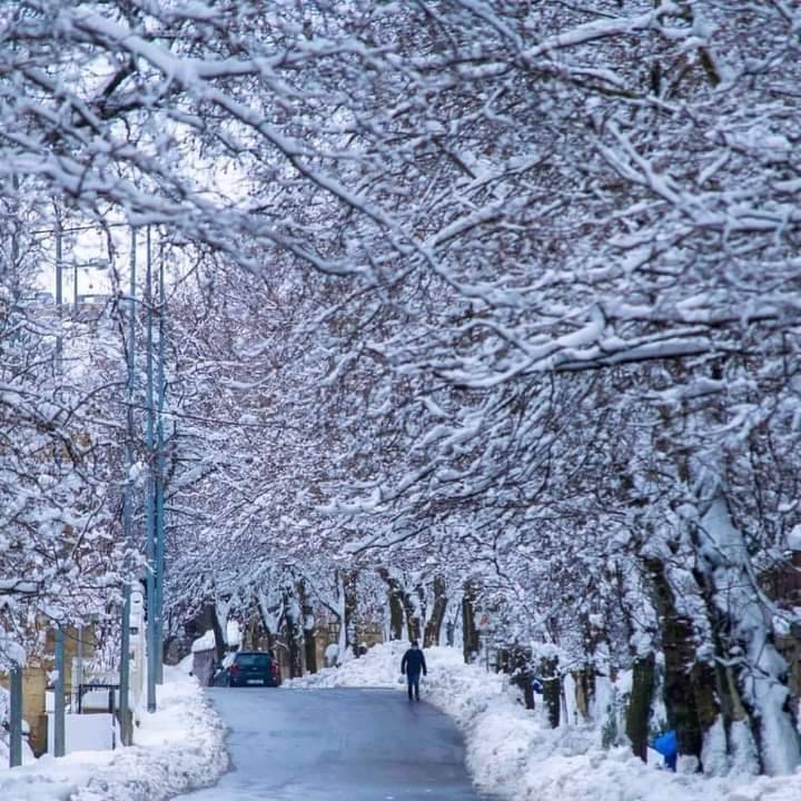
- **Monday:** Partly to mostly cloudy at times with a slight increase in temperatures, still 4 degrees below seasonal averages. Humidity levels will rise, fog will form in the mountains, and there is a possibility of light drizzle in the inland areas and on the mountains. Caution is advised regarding ice formation on roads above 1100 meters during the night and early morning.
- **Tuesday:** Partly cloudy with no significant change in daytime temperatures, which will start to decrease in the afternoon as the cold low-pressure system approach. The weather will turn cloudy with a chance of light, scattered rain and light snow starting at altitudes above 1000 meters, particularly in the northern mountains.
- **Wednesday:** Partly to mostly cloudy during the day with a noticeable decrease in temperatures. Clouds will thicken starting from noon as the low-pressure system accompanied by colder air masses arrives, creating conditions for scattered rain, which may become heavy at night, accompanied by active winds, thunder, and lightning. Snow will begin to fall in the morning starting at 800 meters and lower in the northern mountains, with lower elevations seeing snow as temperatures drop further during the day to potentially reach 600 meters and below in the northern areas.
- **Expected Temperatures:**
- On the coast: 6 to 15 degrees.
- In the mountains: 1 to 9 degrees.
- Inland: 2 to 9 degrees.
- **Surface Winds:** Northwesterly to northerly, with speeds between 15 and 40 km/h, increasing to 50 km/h in the northern regions.
- **Visibility:** Moderate to good.
- **Relative Humidity on the Coast:** Between 30% and 50%.
- **Sea State:** Rough. Water surface temperature: 17 degrees.
- **Atmospheric Pressure:** 767 mmHg.
