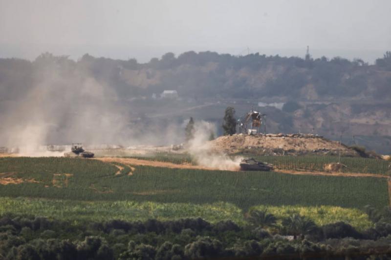
As ground operations expand and Israeli strikes intensify in the Gaza Strip, which is undergoing relentless bombardment, satellite images have revealed detailed insights into the operations. The satellite images taken yesterday morning show the significant scale of one of the main Israeli advances in northern Gaza, where hundreds of armored vehicles have penetrated miles across the border into urban areas on the outskirts of Gaza City, according to an exclusive report by The New York Times.
Israel has not yet reached the rapid and devastating ground assault anticipated by many analysts, but images captured by the commercial satellite company Planet Labs show a large force consisting of numerous groups of dozens of armored vehicles moving through open fields and gathering in urban areas. These images have provided a greater understanding of the extent of the Israeli incursion into Gaza and the destruction it has caused.
Israeli vehicles were observed to the south, reaching the Al-Karama neighborhood north of Gaza City. Videos previously released by the Israeli military displayed lines of tanks operating near the border area. Many nearby buildings appear to have sustained severe damage or been completely destroyed due to airstrikes. Hundreds of craters from air raids and shelling can be seen, including in homes and on roads, with residential buildings reduced to rubble.
The area shown in the images is one of three directions in which Israeli tanks and other vehicles have moved toward Gaza City, the largest city in Gaza. Rows of armored vehicles were also seen on the main road stretching from northern Gaza to the south, as well as in the northeastern corner of the territory in the town of Beit Hanoun. However, Israeli forces have backed away from direct combat in Gaza City, opting instead to remain on the city's outskirts to postpone more dangerous fighting and keep military options open.
In the Al-Karama area, fields and buildings have been razed over the past nine days. Meanwhile, the devastated agricultural land has been used to gather dozens of armored vehicles, as the wide tank tracks provide a clear indication of their movements throughout the region. To the south, the images show a series of destroyed buildings, alongside additional craters and military vehicles.


