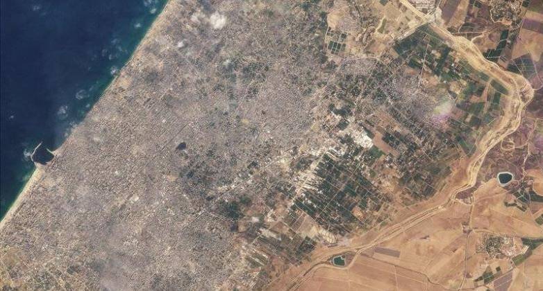
An analysis of satellite images conducted by CNN shows that a road being built by the Israeli army, which divides Gaza into two parts, has reached the Mediterranean coastline. Israeli officials stated that this is part of a security plan to control the area for months, potentially even years. The Israeli army mentioned that the road is being used "to establish an operational foothold in the region, allowing the passage of troops as well as logistical equipment." They added that the road existed before the war and is being renovated due to damage caused by armored vehicles.
The corridor is named "Netsarim" after the former Israeli settlement in Gaza. Israeli Diaspora Affairs Minister Amichai Chikli told CNN that the new road "will facilitate" the Israeli army's ability to conduct operations in the north and south of Gaza City. Emily Harding, Director of the Intelligence and National Security Program at the Center for Strategic and International Studies in Washington D.C., noted that the Netsarim corridor is an attempt "to control the movement of the population." She added that the road, which divides the territory, will facilitate "screening individuals moving back and forth between the north and south and trying to determine if any of them are Hamas fighters."


