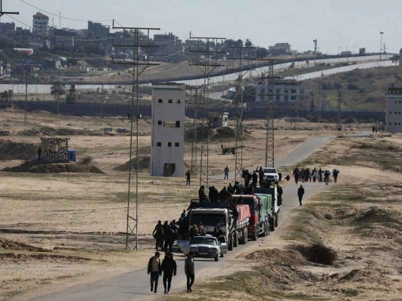
On Tuesday, the Israeli army commenced expanding its activities in Rafah, with Israeli soldiers advancing along the Philadelphi axis in southern Gaza. According to Israeli broadcasting authorities, estimates indicate the evacuation of around one million residents from Gaza's Rafah area as of today. Israeli Defense Minister Yoav Gallant informed U.S. National Security Advisor Jake Sullivan that Israel intends to expand its ground assault in the city of Rafah in southern Gaza.
The Salah al-Din axis, known as the Philadelphi axis, stretches within Gaza from the Mediterranean Sea in the north to the Kerem Shalom crossing in the south, along the Egyptian border, covering a length of approximately 14 kilometers.
So, what is the Philadelphi axis?
- The Philadelphi axis, or Salah al-Din axis, refers to a strip that extends along the border between Egypt and the Gaza Strip.
- It falls within the "D" buffer zone as per the peace agreement signed between Egypt and Israel in 1979.
- The axis extends from the Mediterranean Sea in the north to the Kerem Shalom crossing in the south, covering a length of about 14 kilometers.
- The peace agreement between Egypt and Israel imposes numerical and qualitative restrictions on the deployment of forces on both sides of the border, including the Egyptian side of the axis.
- Israel controlled the Philadelphi axis as part of its control over the "D" zone until it withdrew from Gaza and handed it over to the Palestinian Authority in 2005.
- In the same year, a new agreement was signed to organize the presence of forces in the axis area, allowing for Egyptian-Israeli security coordination.
- Egypt deploys a limited number of forces on its side of the axis to prevent infiltration and smuggling operations.
- Recently, there have been media reports regarding an Israeli plan to construct an underground wall in the axis area.


