


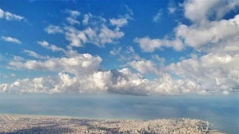
The Forecast Department at the Meteorological Service in the General Directorate of Civil Aviation predicts that the weather tomorrow will be partly cloudy with a slight additional drop in temperatures, falling below seasonal averages, with dense fog expected in mountainous areas. Light scattered showers are predicted in the morning, particularly in northern parts of the country, accompanied by active winds, clearing to partly cloudy by evening.
The weather bulletin states:
- General condition: Relatively mild summer weather is expected in Lebanon over the next two days, with temperatures within seasonal averages due to the influence of a low-pressure system positioned southwest of Turkey. This will lead to a decrease in temperatures and some local fluctuations from this evening until tomorrow afternoon, accompanied by active wind speeds and a decrease in humidity along the coast, alleviating the heat.
Temperatures are expected to rise again early next week, especially in mountainous and inland areas.
- Expected weather in Lebanon:
Saturday: Partly cloudy with a drop in temperatures, especially in mountainous and inland regions, returning to seasonal averages. Coastal humidity decreases, reducing the perceived heat. Fog will form in the mountains starting in the afternoon, with active winds raising sea surf. Drizzle is expected to fall sporadically on Saturday night/Sunday morning, particularly in northern areas.
- Sunday: Partly cloudy with a slight additional decrease in temperatures, dropping below seasonal averages. Dense fog is expected in mountainous areas with scattered light rain in the morning, especially in northern regions, accompanying active winds and clearing to partly cloudy in the evening.
Monday: Generally clear with temperatures rising, especially in mountainous and inland areas, returning to seasonal averages.
Tuesday: Generally clear with an additional rise in temperatures, particularly in mountainous and inland areas, exceeding normal averages. Humidity increases on the coast, amplifying the heat sensation.
- Surface winds: Southwesterly, active, speeds between 20 and 50 km/h.
- Visibility: Medium on the coast, poor in the mountains starting in the afternoon due to fog formation.
- Relative humidity on the coast: Between 50 and 70 percent.
- Sea state: Wavy. Sea surface temperature: 29°C.
- Atmospheric pressure: 1007 HPA, equivalent to 755 mm Hg.
- Sunrise: 05:44. Sunset: 19:44